The average conditions of a place for a long period of the time (30-40 years) is called climate. A climate region is a geographical area with similar characteristics of air temperature, pressure, winds, and precipitation. It possesses distinct location, vegetation and economic activities of the people. A climatic region is also called a natural region.
Climate is the Pattern of weather that occurs in an area over a long period of time. Weather is the day to day condition of the atmosphere, it is reflected by air, temperature, humidity, wind speed and precipitation.
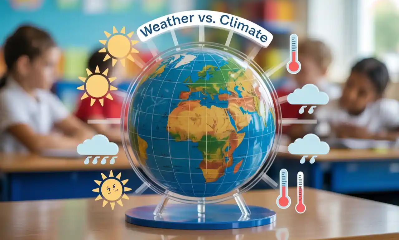
Weather
- Weather is the condition of atmosphere at any given moment. Weather can change from minute to minute, hour to hour and day to day.
- Sunshine, rain, cloud cover, wind, hall, snow, sleet, freezing rain, blizzards, ice storms and thunderstorms represent weather.
- Our daily activities, food and dress are determine by weather.
Climate
- Climate is the long-term conditions of weather that prevails in an area.
- Patterns of precipitation, temperature, humidity and sunshine represent climate.
- Agricultural cropping patterns are determined by climate.
Elements of weather and climate
Weather/climate elements are parameters which help to specify the weather/climate of a place or region such as air, temperature, atmospheric pressure, winds and precipitation.
Atmospheric Temperature: The atmospheric temperature refers to degree of heat in the air. It is measured with a thermometer. Temperature is represented on maps by lines known as isotherms. Temperature is most important climatic element. The temperature of a place is primarily dependent on its distance from equator, the altitude and the prevailing winds.
Atmospheric Pressure: It refers to the weight of the air over a place. It is measured with a barometer and is expressed in millibars (mb). Its is represented on maps by isobars. Atmospheric pressure has a direct impact on the precipitation. In general, places with low pressure tend to be moist, whereas those with high pressure are dry.
Wind: The horizontal movement of air is termed as wind. Its direction is measured with a wind bane, while anemometer is used to measure its speed. Wind transport heat and moisture.
Precipitation: The water that falls from the cloud is termed as precipitation. It is measured with a rain guage. Quality of precipitation is represented on maps by isohyets.
5 Geographic Factors That Shape Our Climate Zones
Elements of climate are influenced by factors like latitude, maritime influences, altitude, continentality and ocean currents. This interaction results in the formation of different types of climatic region on the surface of the Earth.
Latitude: Latitude of a place reflects its distance from the equator. Equator is 0-degree latitude and it lies midway between North and South poles. Latitudes that are close to the equator receive higher amount of solar energy than those away form the equator. Therefore the areas near to equator are warmer or hotter while pole ward areas are cooler or colder.
Maritime Influences: It keep the coastal areas mild both in summer and winters. In coastal areas the difference between summer and winter temperature is also low.
Distance from sea: Areas that are farther from sea are not affected by the maritime influences seasonally they become too cold or too warm-resulting in greater temperature ranges.
Ocean currents and winds: Ocean currents are streams of moving water in oceans. There are two types of ocean currents, warms currents and cold currents.
- Warms currents cause coastal areas to warm up for example, warm Atlantic current xombined with south westerly winds give western Europe a high average temperature.
Aspects of slope: The direction of slop of relief feature also influences the climate of a place e.g sunward slop-es have higher averages of temperatures than the slopes which are falling in shadow.
Final Thoughts:
This article explores the distinction between weather and climate, emphasizing their definitions, elements, and impact on human life. It explains how factors like latitude, ocean currents, altitude, and maritime influence shape the climate of different regions across the Earth. Key elements such as atmospheric temperature, pressure, wind, and precipitation are described in detail, along with how they are measured and represented on maps. The article also highlights the concept of climatic regions and their importance in determining vegetation, lifestyle, and economic activities.